
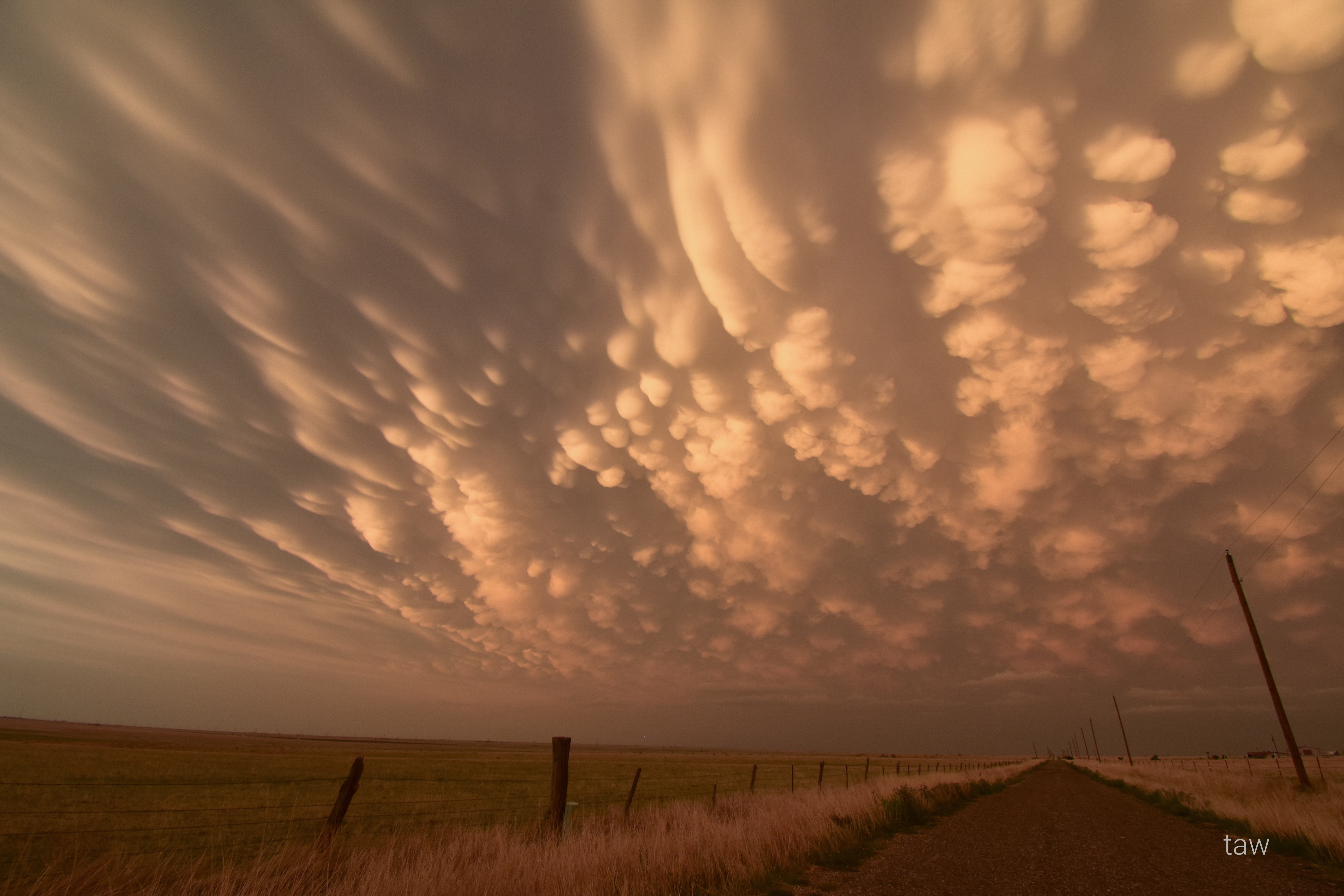
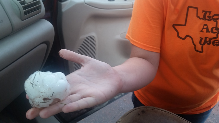
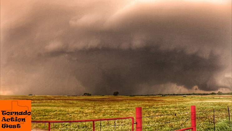
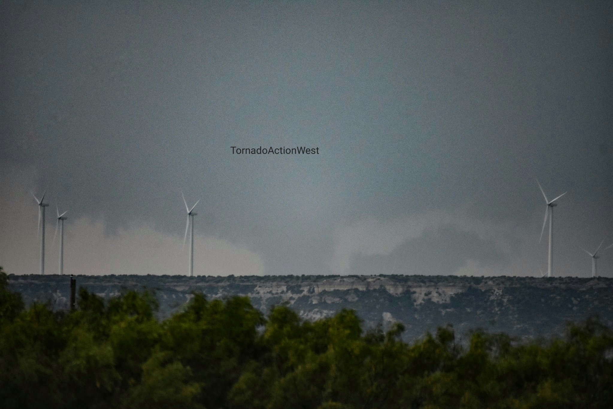
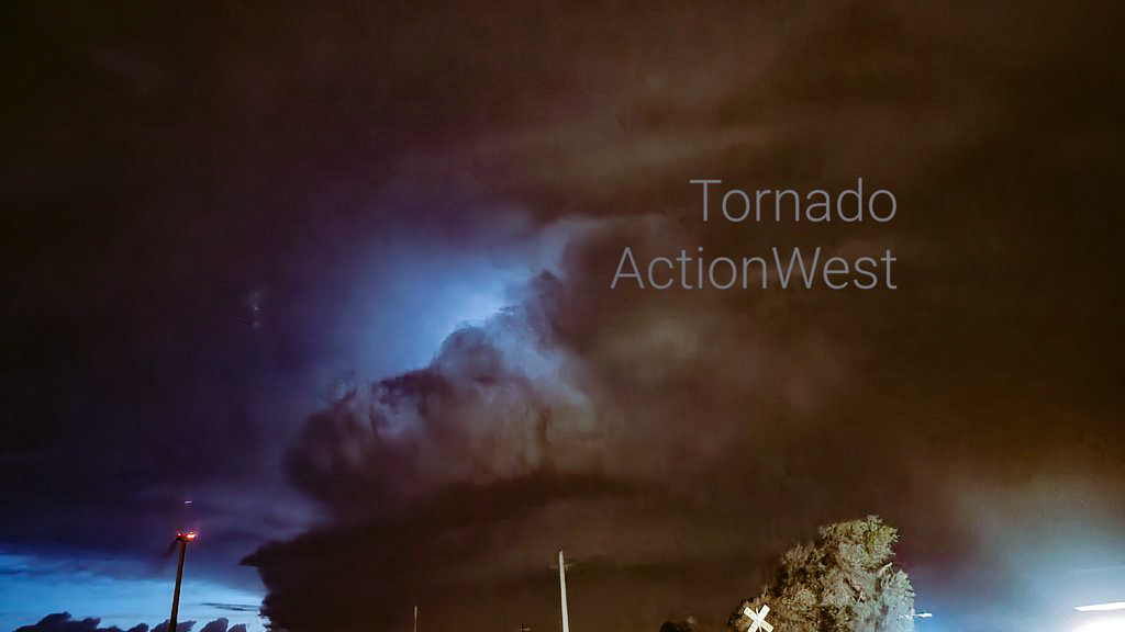
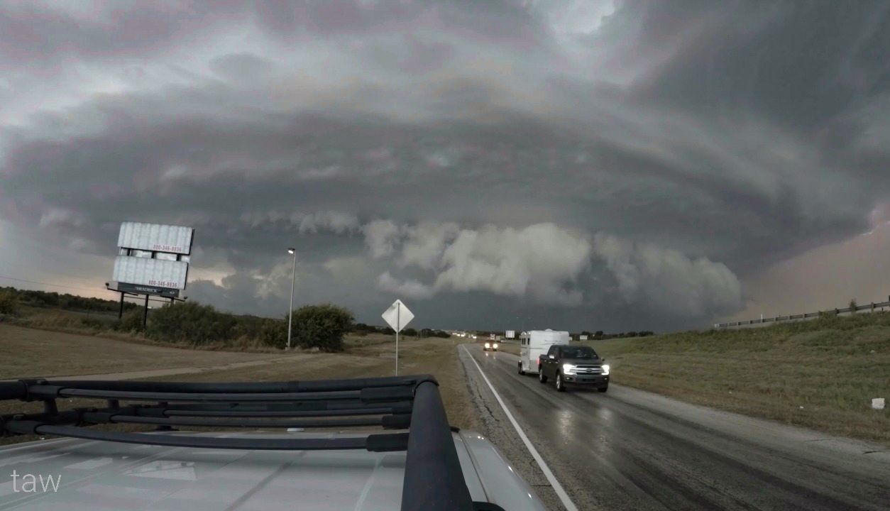
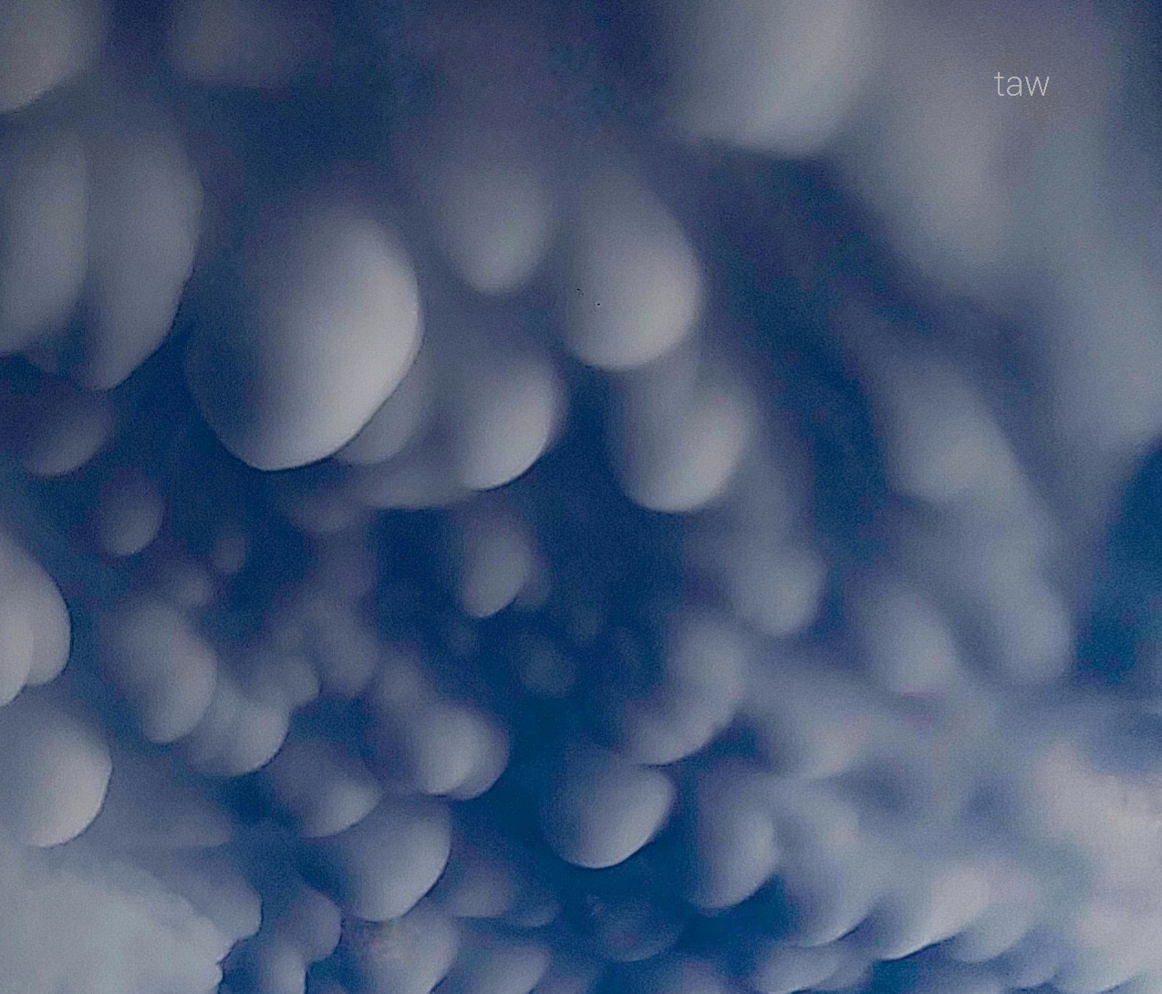
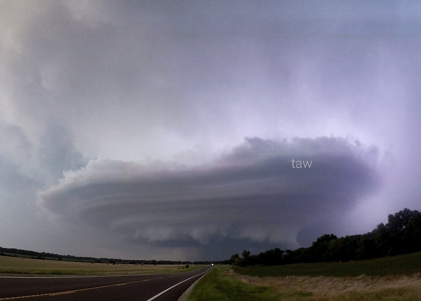
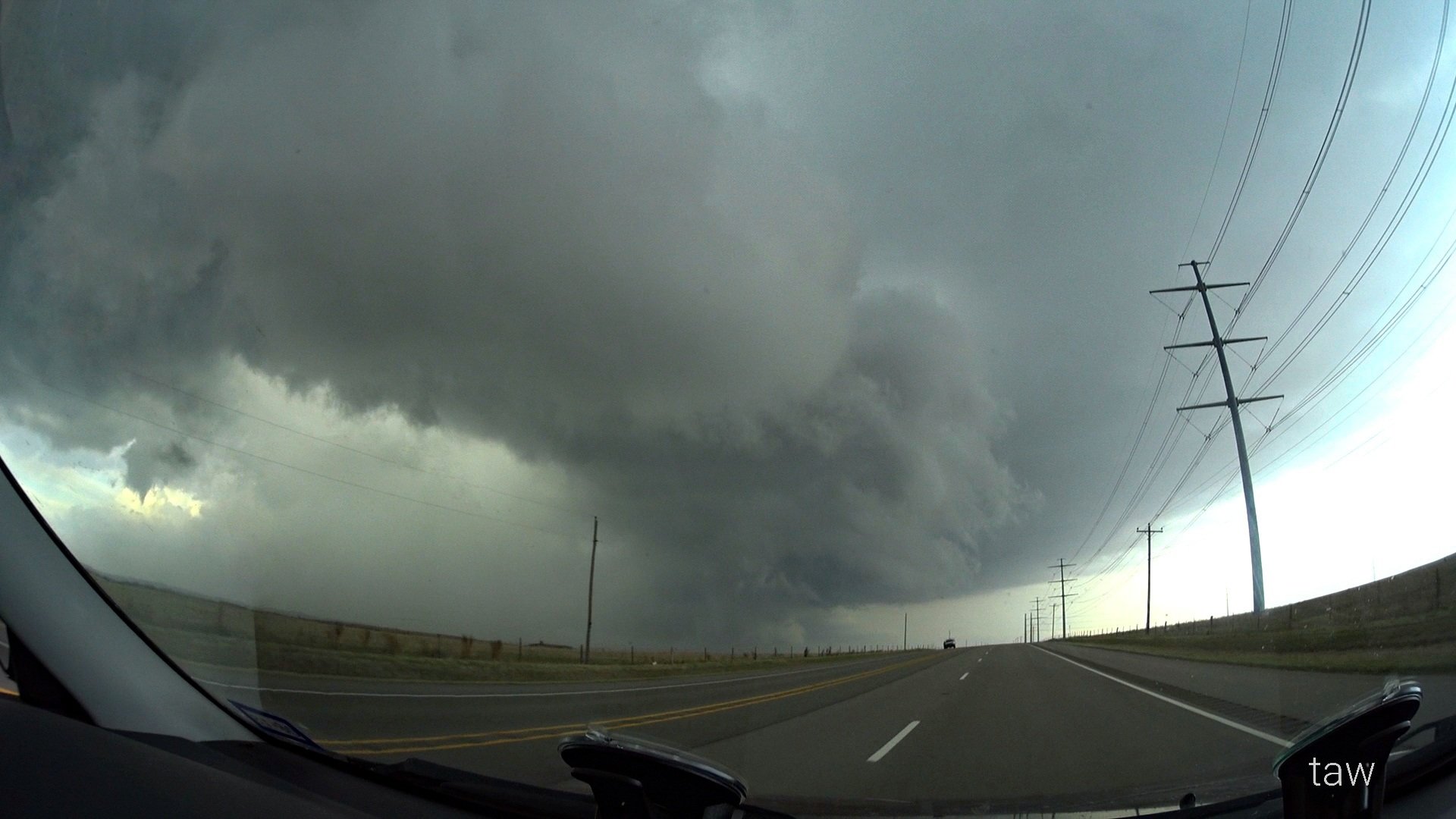
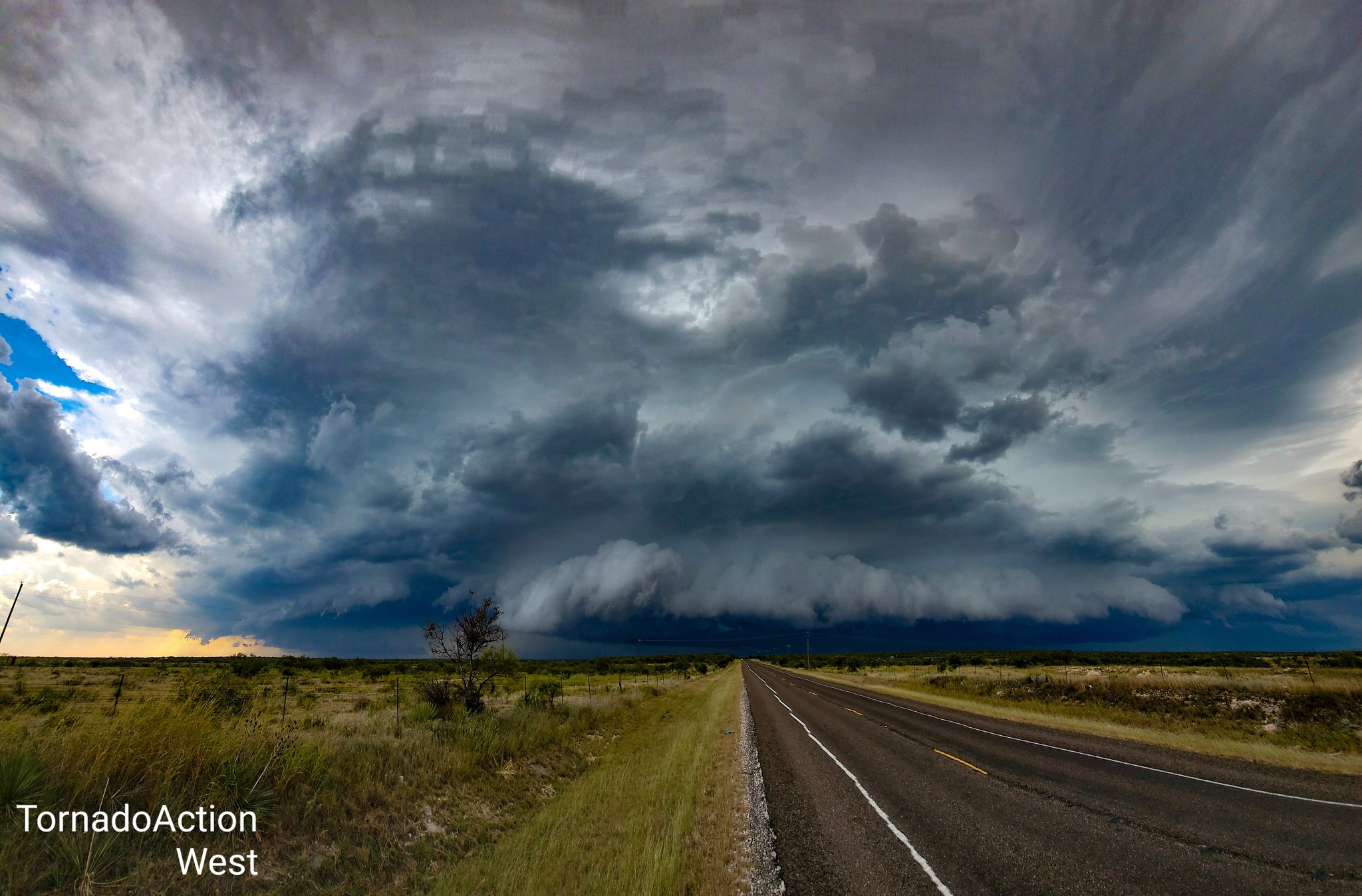
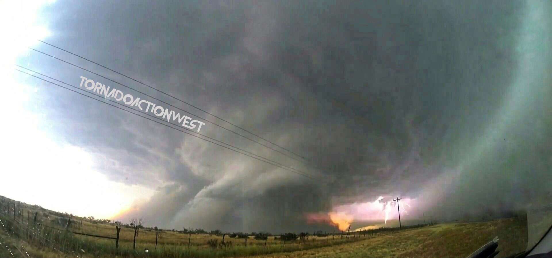
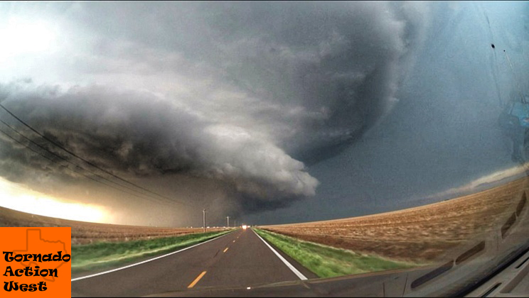
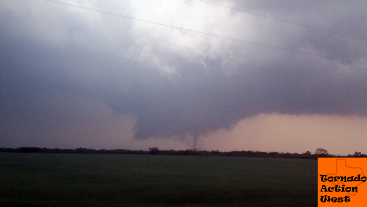
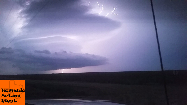
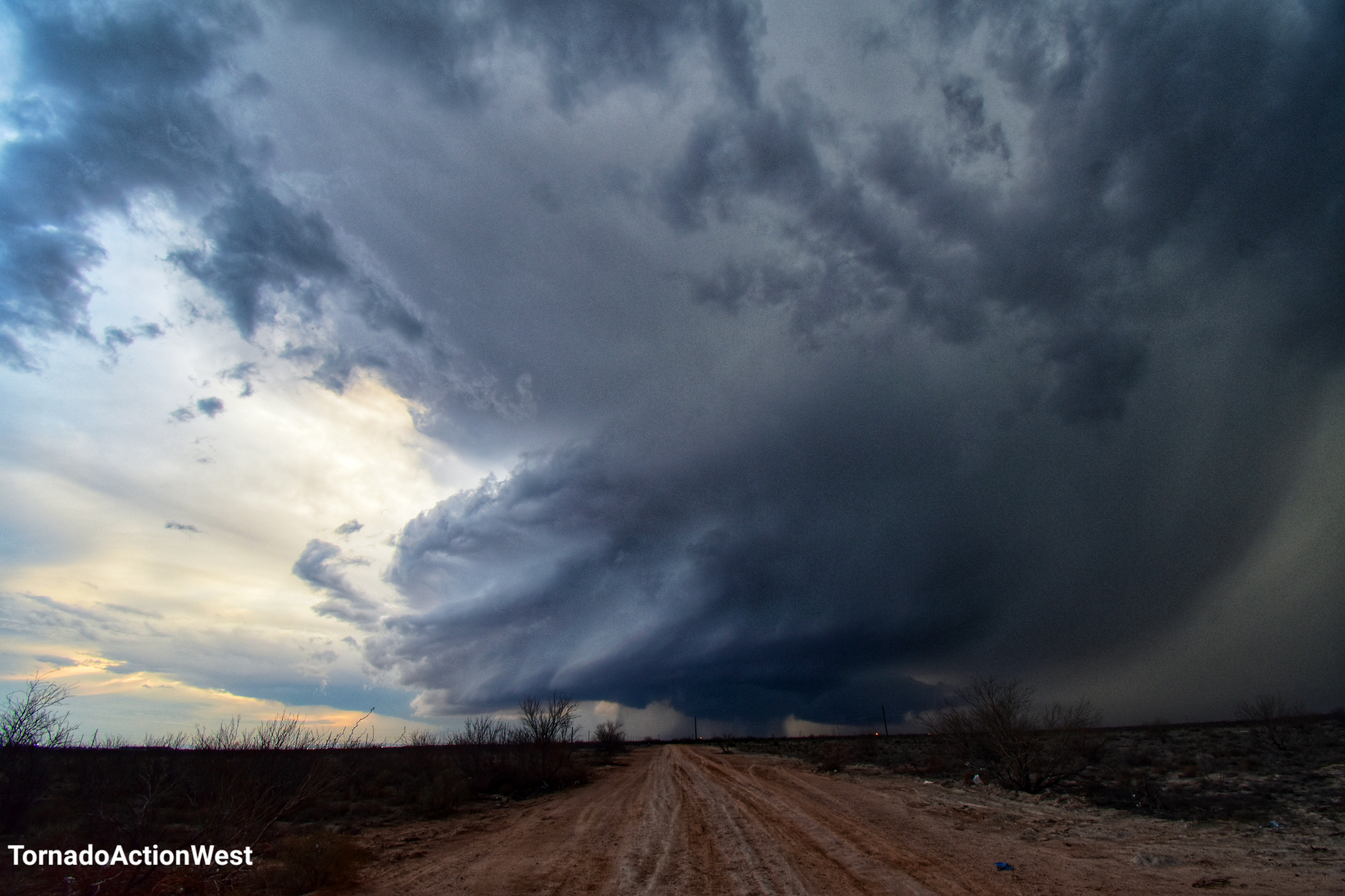
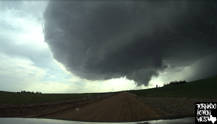
2022 Storm Season is here! New, fresh videos will post here. Stay Tuned!

![]()
Mesoscale Discussions

Activity

Tornado Outlook

National Forecast Chart

Surface

Today

Tomorrow

Day after tomorrow

Reflectivity, UH>25

Dew Points
Good 60-65, great at 65, real great at >= 70
Surface-Based CAPE
0-3km AGL CAPE
Mixed-Layer CAPE
> 1000 is pretty solid, 2000-3000 is better, 4000+ is extreme instability
700mb Temperature
Cap: 10-12c good, temps reaching > 12c considered pretty strong capping
500mb Winds
W or SW: good at 30-35, great when 40-60, over 60 storms may be too fast
850mb Winds
S or SE: 30 kts or higher for tornadoes, big tornadoes when >= 40 kts
0-1km SRH
Anything over 100m2/s2 is considered favorable for tornadic supercells
0-6km Shear
Good >= 35kts, strong when > 40kts and big tornadoes when >=50kts
Supercell Composite Parameter
Significant Tornado Parameter
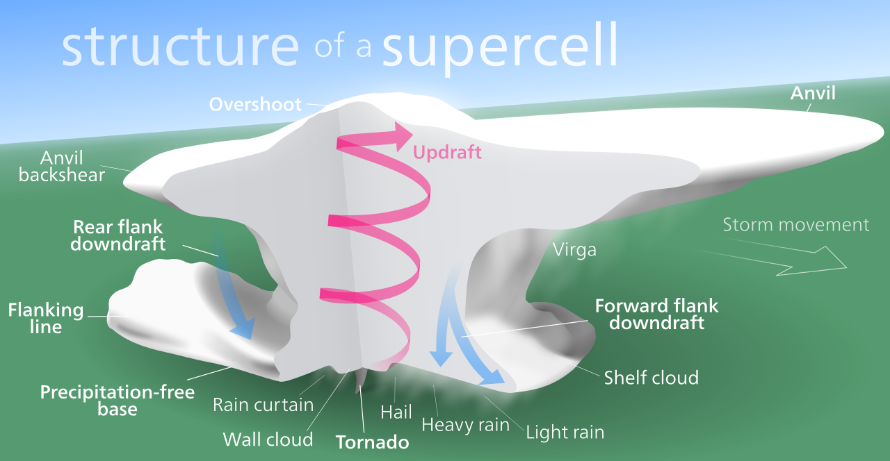
LCL
1000-1500m range tend to work best for pictures but anything under 1000m favors tornadoes, over 2000 tornadoes unlikely.
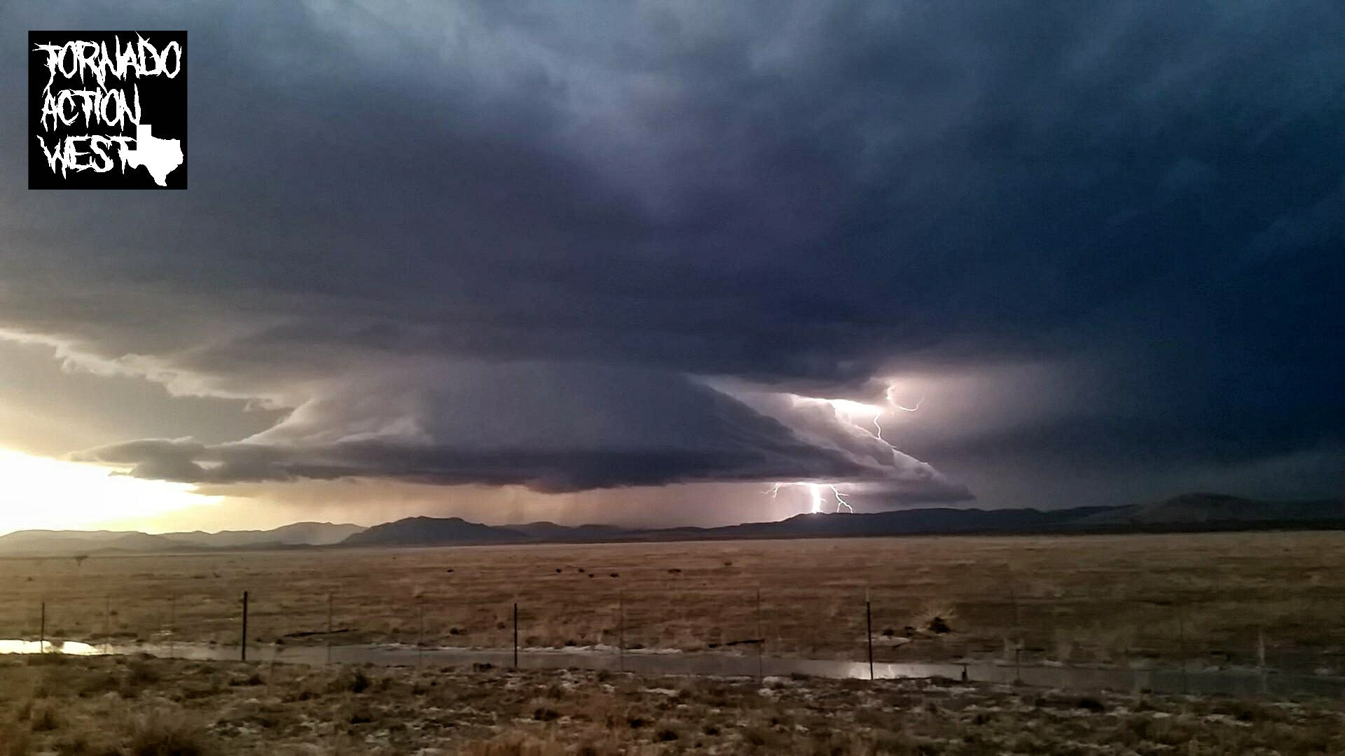

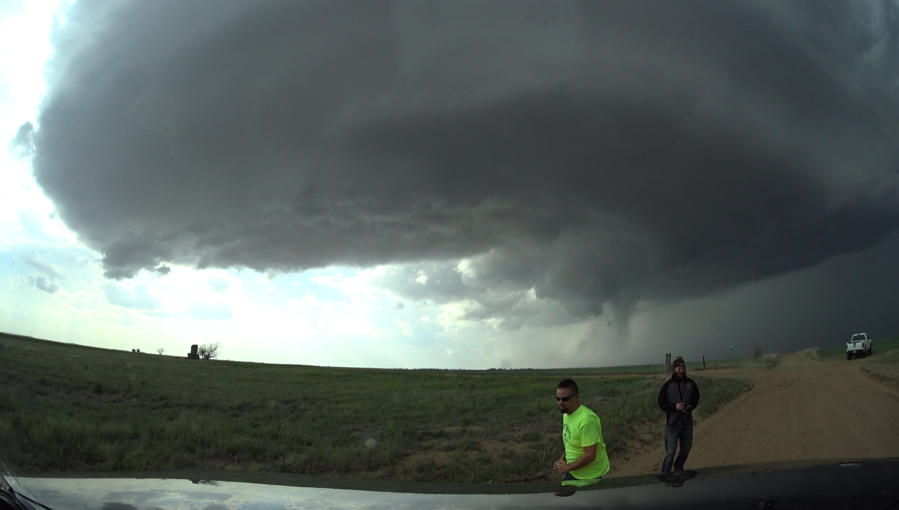
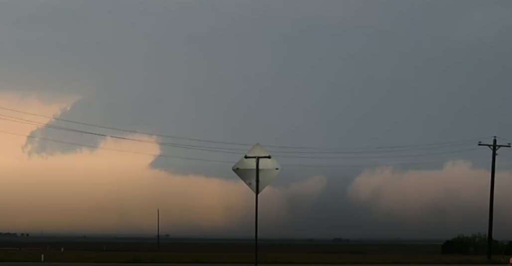
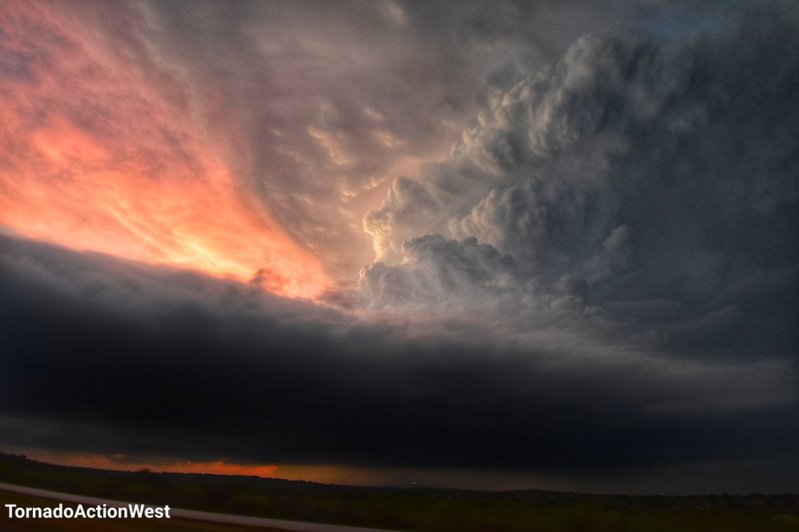
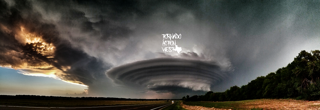
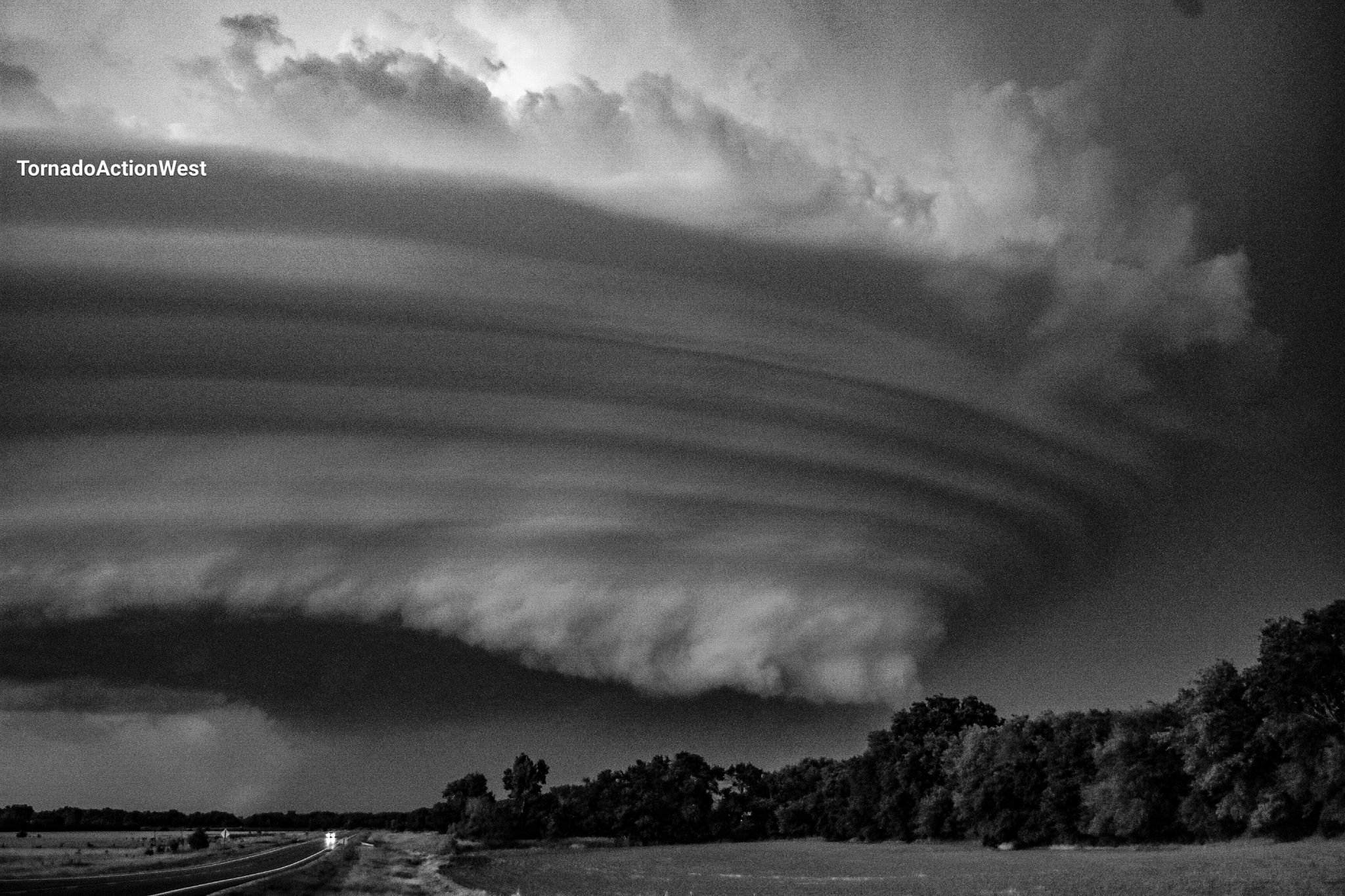
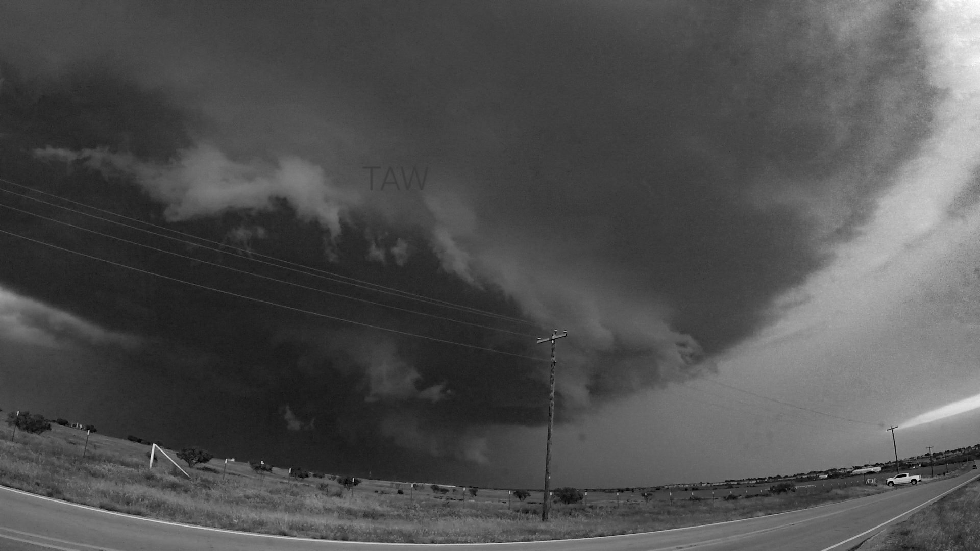
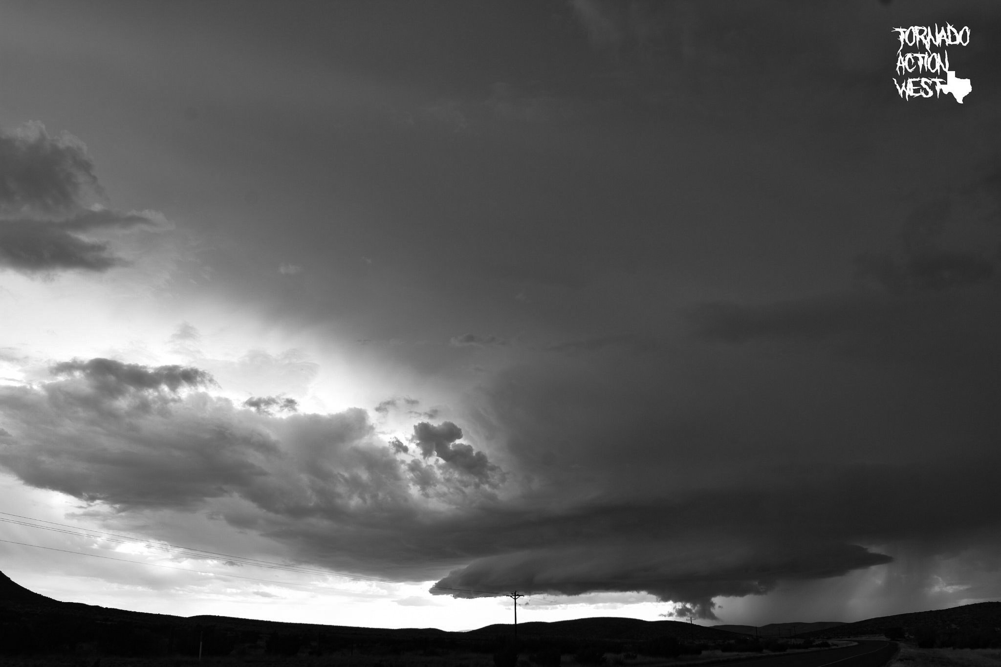
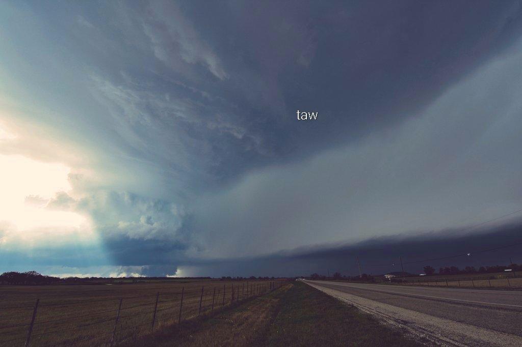
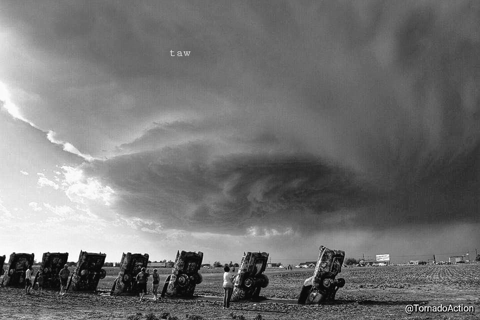
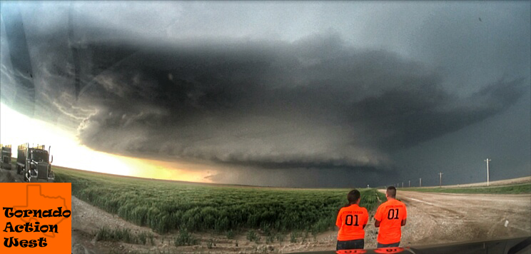
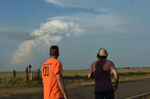
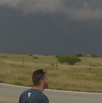
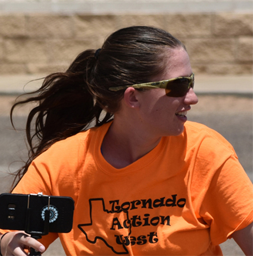
On a mission to find the Mother of all Mothership Supercells! We frequently chase around Texas, Oklahoma, Kansas, Colorado and New Mexico during storm season. If a storm blows up, great! Although, just exploring and taking pictures is fun enough!
During a storm chase, we live tweet and post to Facebook!
Who knows what the next storm season will bring, so saddle-up buckaroos and let's ride!
Please be sure to check us out on Facebook and Twitter for the latest storm action.